- First Name
- Valhalla
- Joined
- Jan 29, 2017
- Threads
- 89
- Messages
- 3,722
- Reaction score
- 7,227
- Location
- Chattanooga Tn
- Vehicle(s)
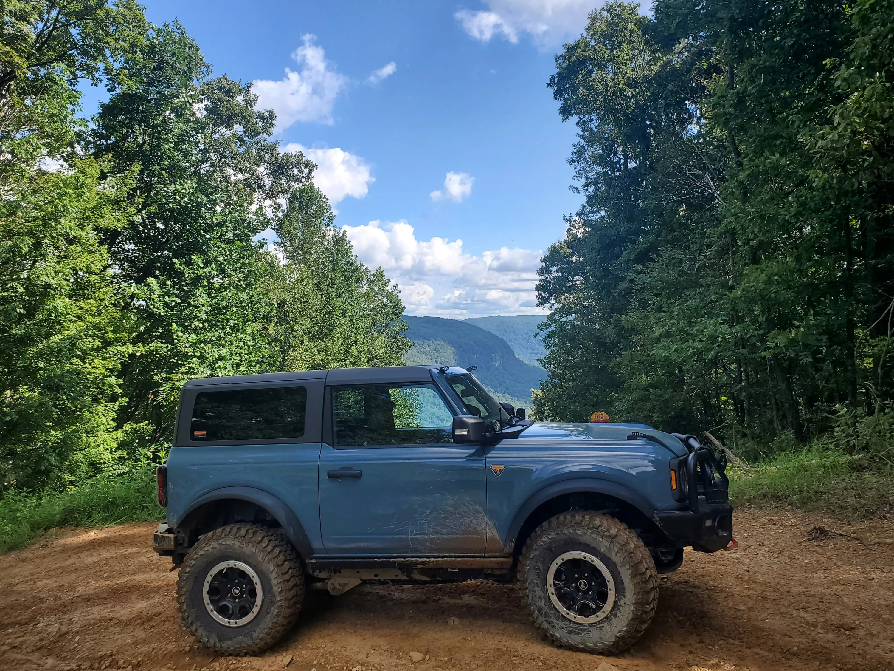
- 2023 Bronco,1996 Bronco, '05F350, '14JKU, '13Silverado, '26Atlas cross sport
- Your Bronco Model
- Badlands
- Thread starter
- #1
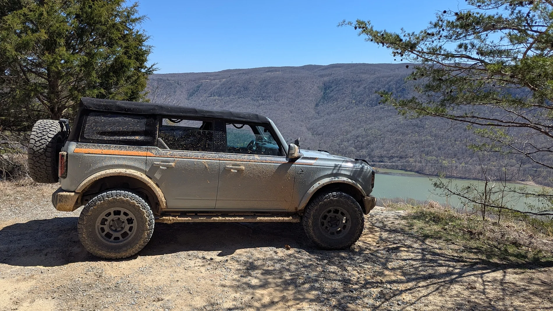
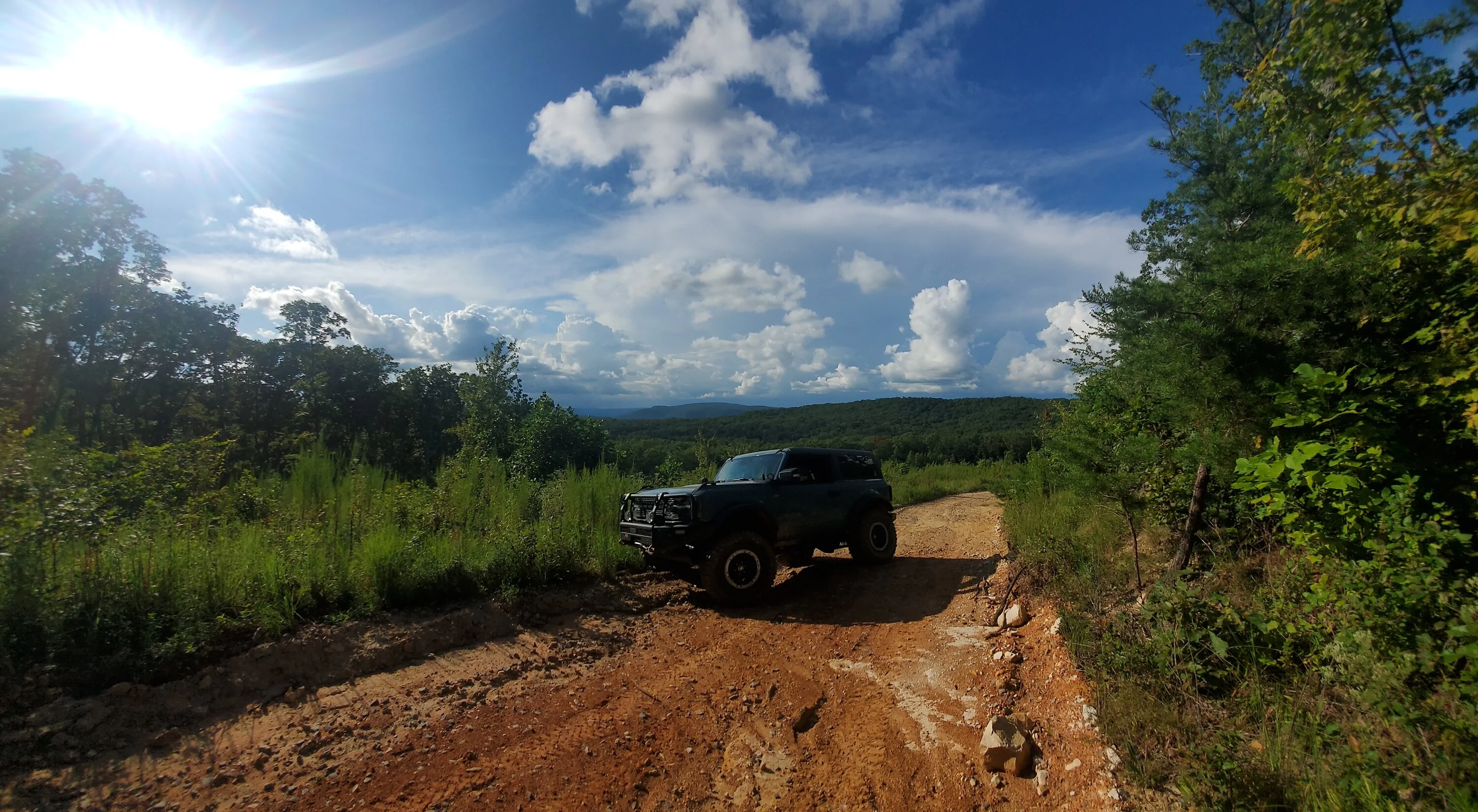
The wife and I headed out for an adventure today I have always loved Prentice Cooper. This is a fun off road area for stock or mostly stock vehicles. It is pretty SE TN hilltop vistas of the river. About 1/4 of the year it is closed for deer hunting. 1/4 of the year for turkey hunting. More than 1/2 is closed 1/4 of the year for turkey nesting.
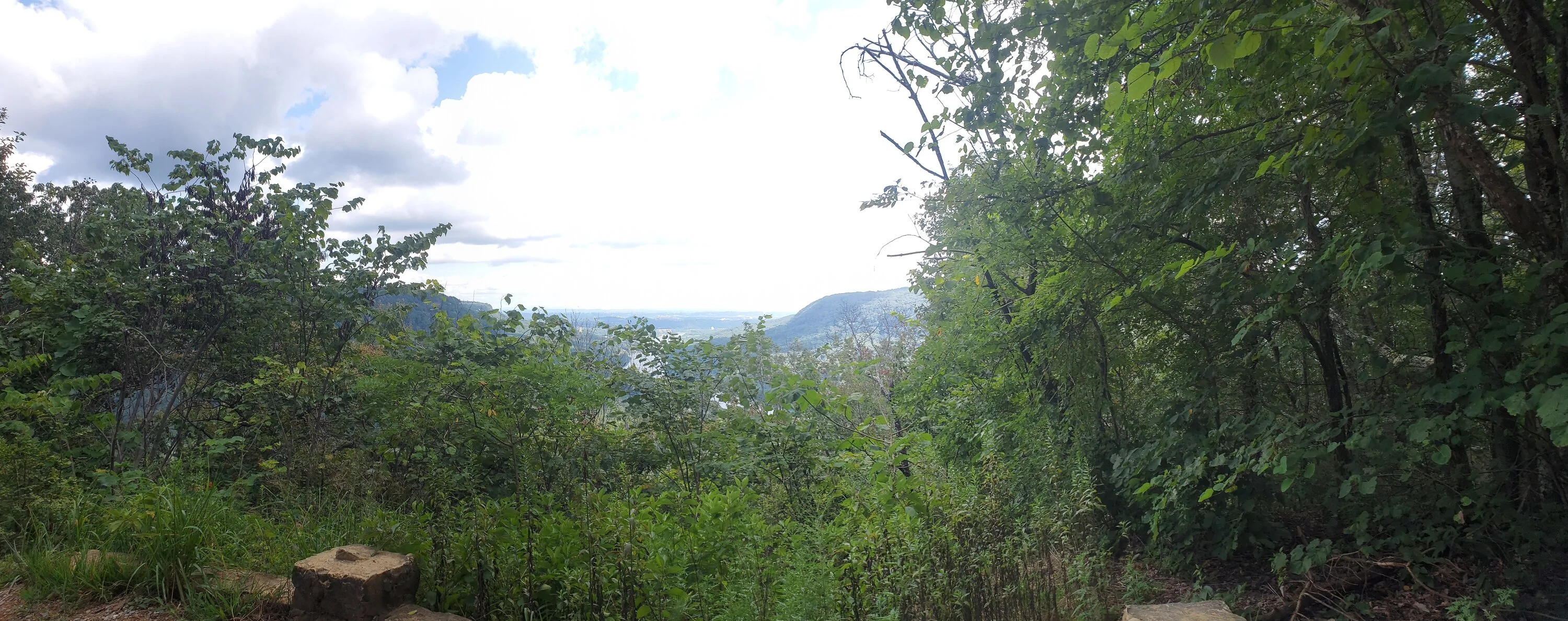
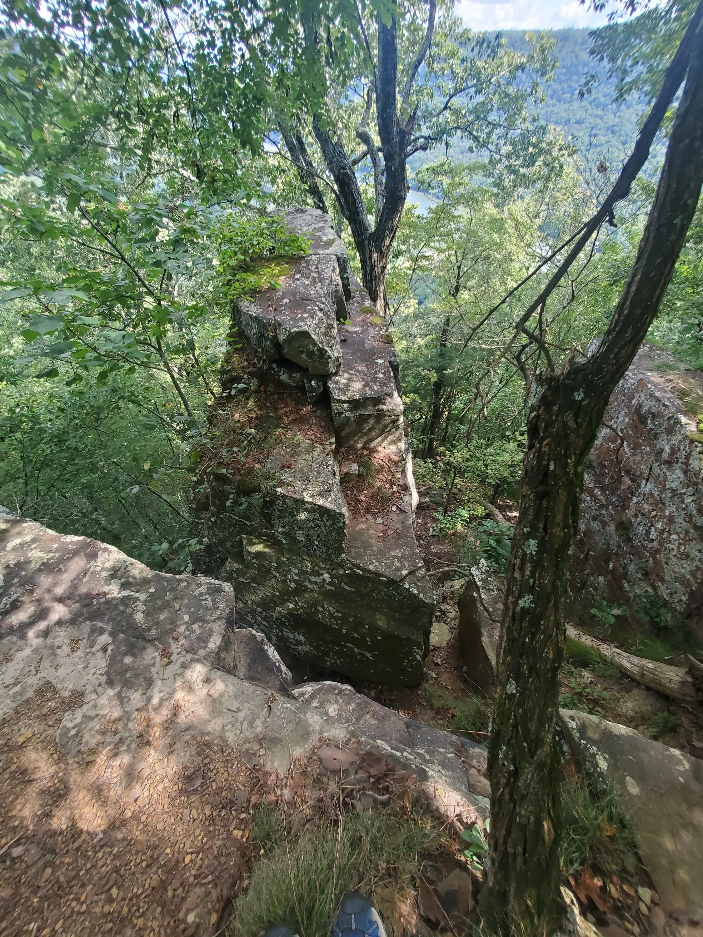
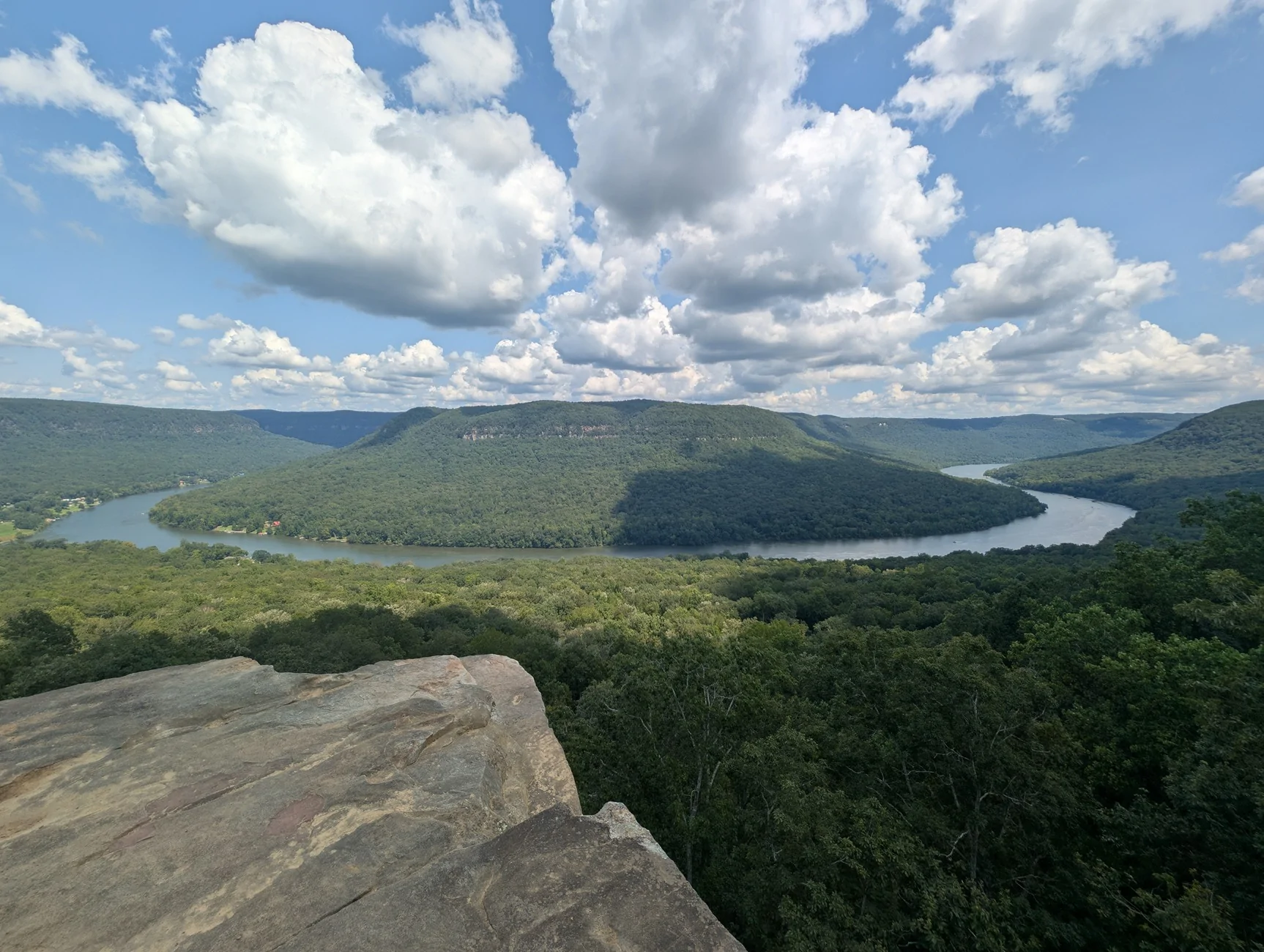
This is the first overlook in the park. It used to be kept clear. This is actually better than the last time I was out here.

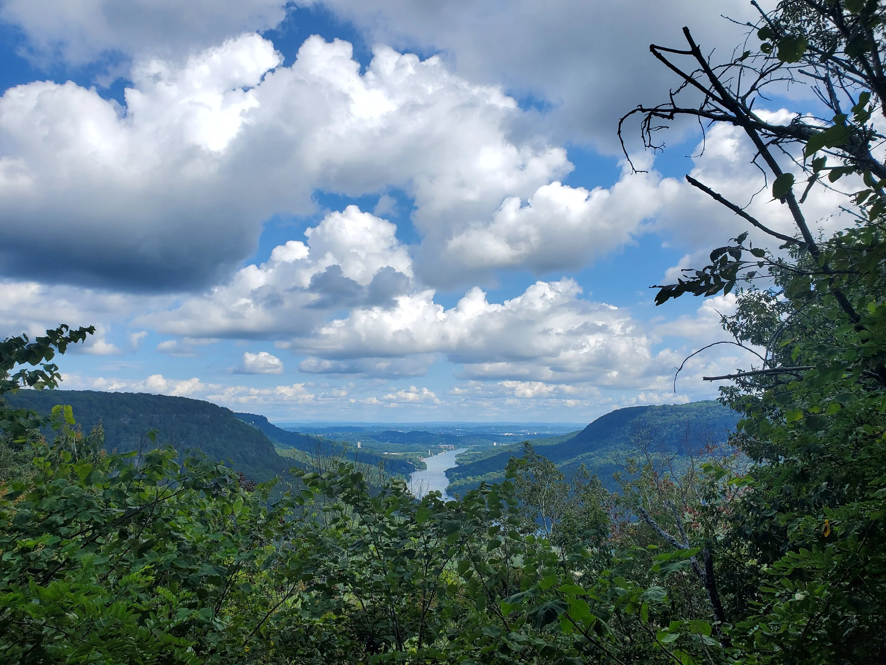
If you get up higher that is Chattanooga back to the east.

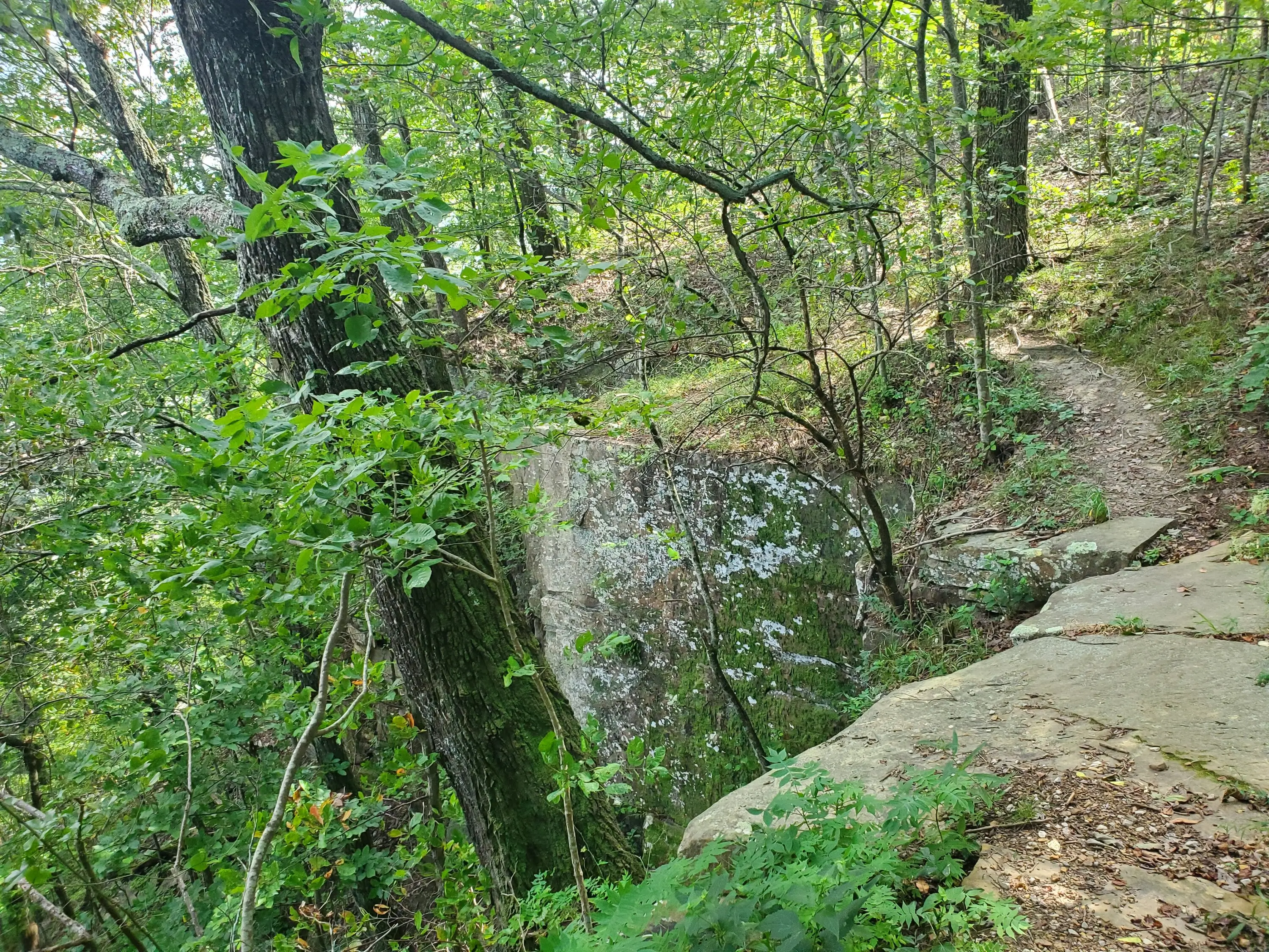
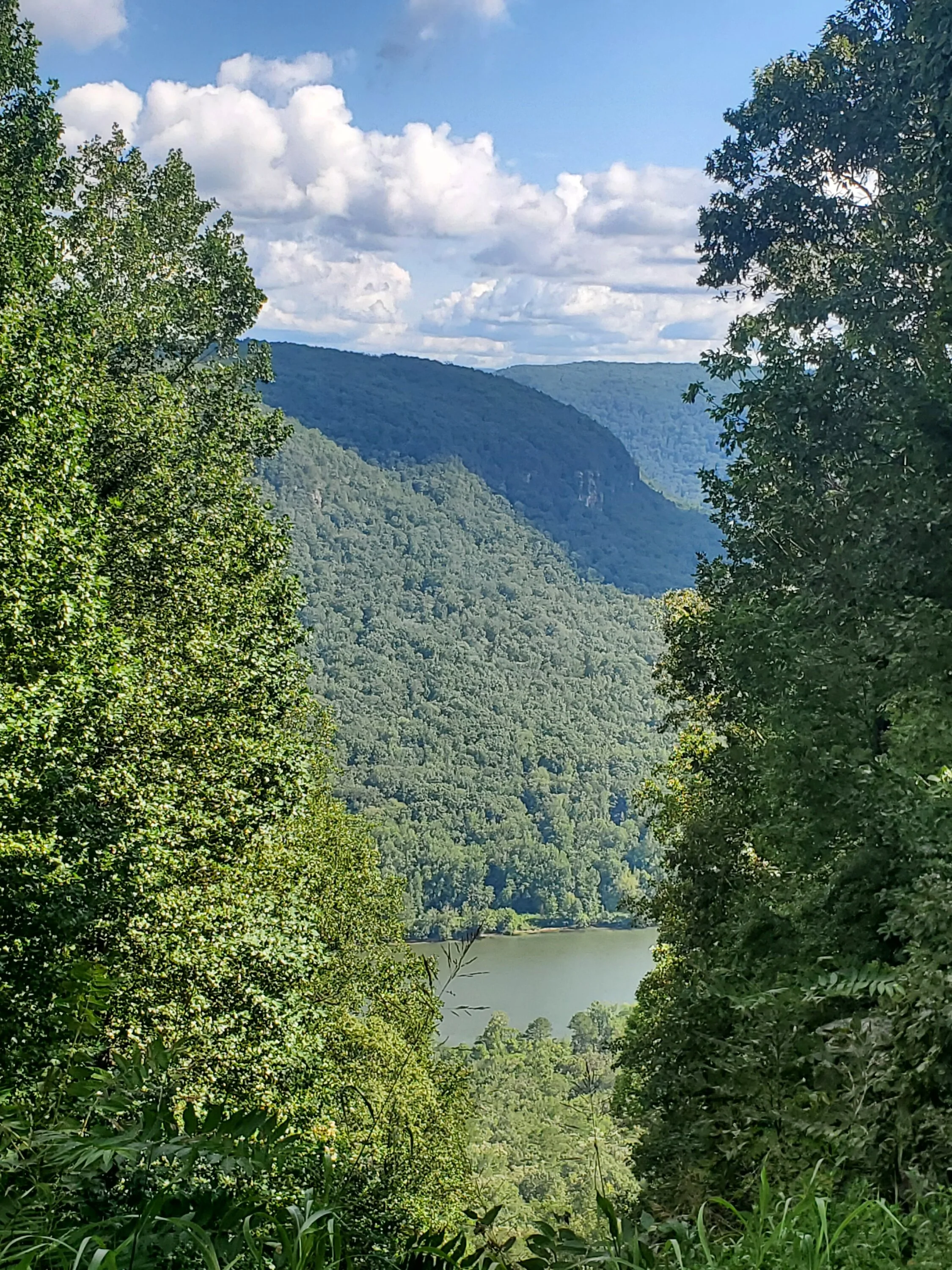
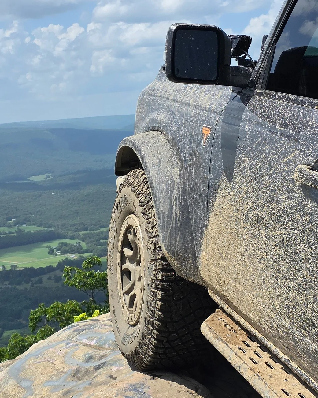
There is a short path over to some rocks that have another vantage.
Once the leaves fall you can see more readily. Careful getting out there!

This is a view where a gas line drops over the cliff.
If you venture all the way to the end of tower you have a south west view out over the river. We used to call this insurance point. If you look down once the leaves fall off the trees, you can see the hulks of 50 and 60;s cars that were sent over this ledge.

Looking back north west you can see rolling Appalachia toward Sequatchie valley.

The management area is only open during daylight hours, so we had to cut the trail short and head back to our slice of the world. If you are inclined to go here, you can look in up online. There is a phone number to see what areas are open. There are two entry/exit points. one on suck creek mountain road, the other near Powell crossroads. The wildlife resource officers are great. Cell service on the back of the area is spotty at best. They have maps of the area, or you can just explore. Tower is the main road from the main entrance to insurance point. Haley is a 4x4 only route to Powell crossroad. Be respectful as the Resource officers live on property.
This is the first overlook in the park. It used to be kept clear. This is actually better than the last time I was out here.
If you get up higher that is Chattanooga back to the east.
There is a short path over to some rocks that have another vantage.
Once the leaves fall you can see more readily. Careful getting out there!
This is a view where a gas line drops over the cliff.
If you venture all the way to the end of tower you have a south west view out over the river. We used to call this insurance point. If you look down once the leaves fall off the trees, you can see the hulks of 50 and 60;s cars that were sent over this ledge.
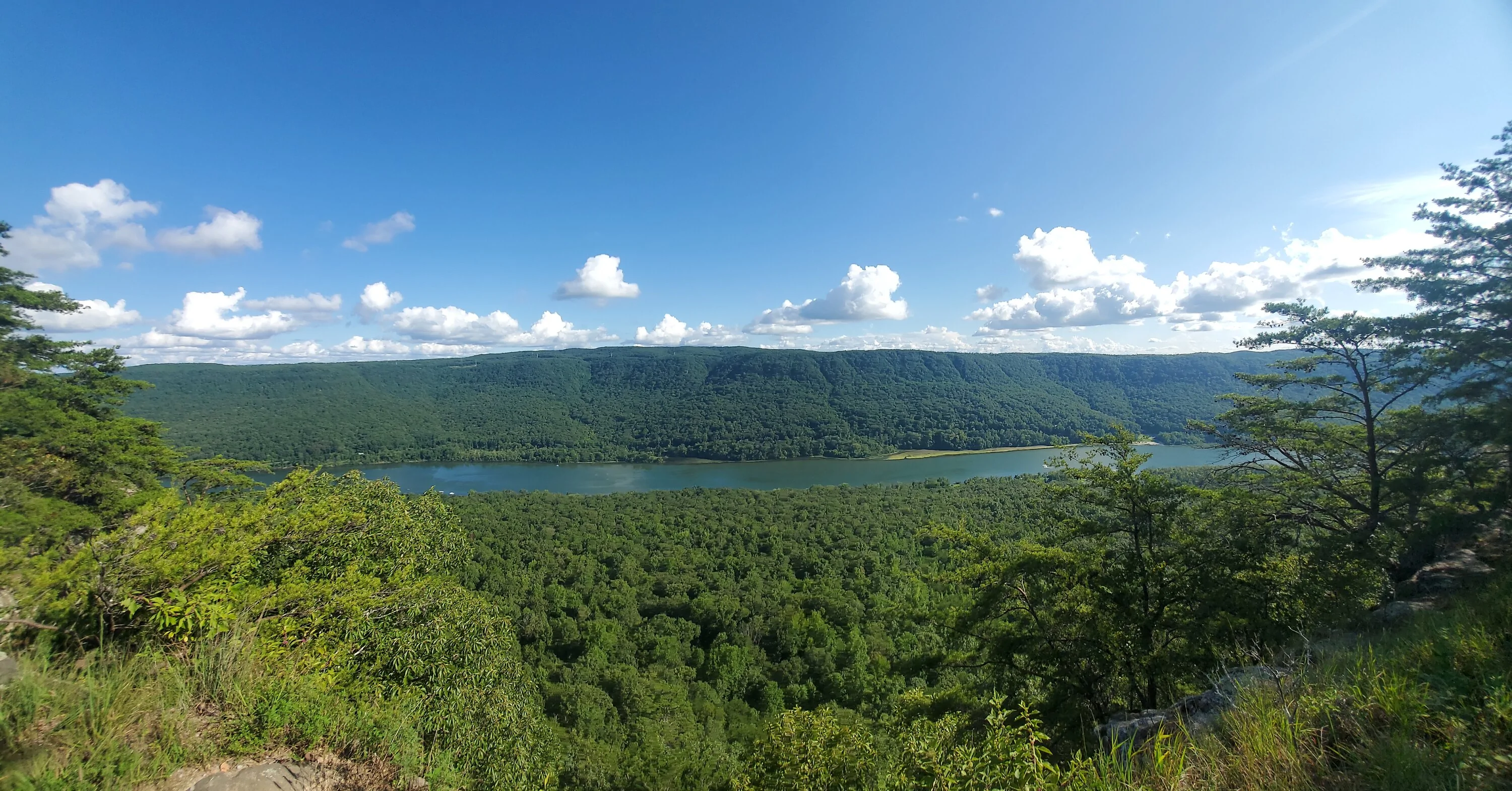
Looking back north west you can see rolling Appalachia toward Sequatchie valley.

The management area is only open during daylight hours, so we had to cut the trail short and head back to our slice of the world. If you are inclined to go here, you can look in up online. There is a phone number to see what areas are open. There are two entry/exit points. one on suck creek mountain road, the other near Powell crossroads. The wildlife resource officers are great. Cell service on the back of the area is spotty at best. They have maps of the area, or you can just explore. Tower is the main road from the main entrance to insurance point. Haley is a 4x4 only route to Powell crossroad. Be respectful as the Resource officers live on property.
Sponsored


")