- Joined
- Aug 14, 2024
- Threads
- 50
- Messages
- 293
- Reaction score
- 391
- Location
- United States
- Vehicle(s)
- 2024 2DR Badlands Manual/VB, 2018 F-150 Lariat/3.5EB, 2013 Mustang GT DIB
- Your Bronco Model
- Badlands
- Thread starter
- #1
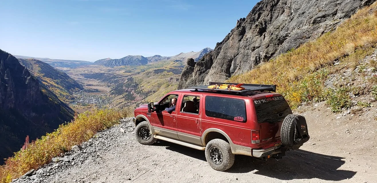
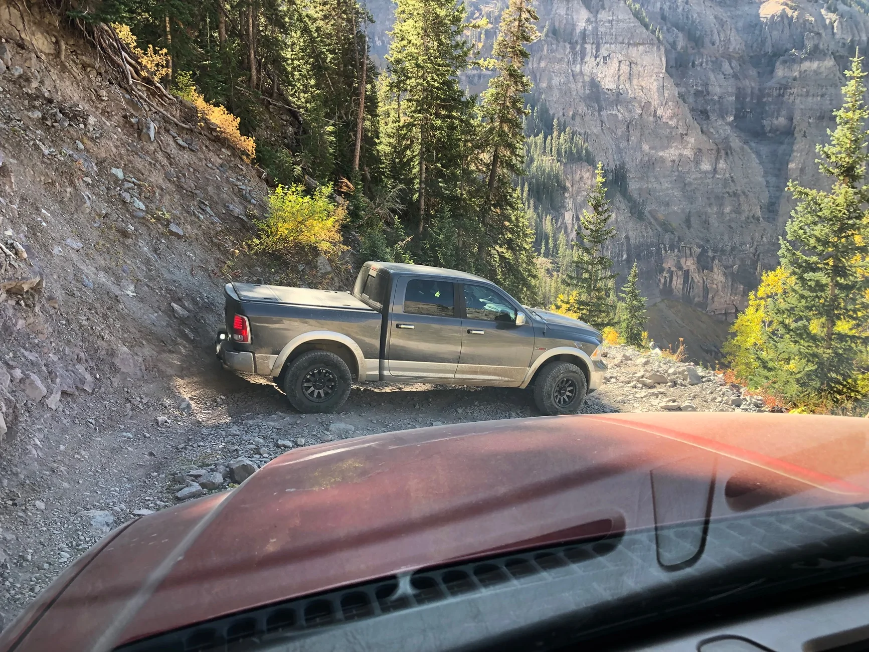
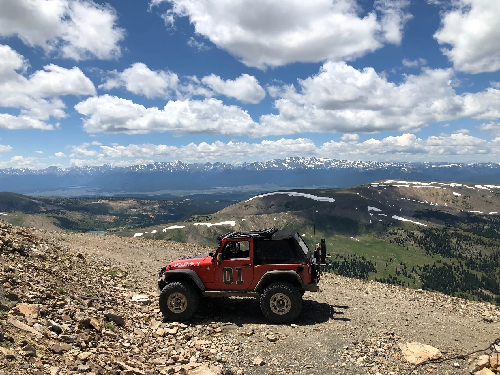
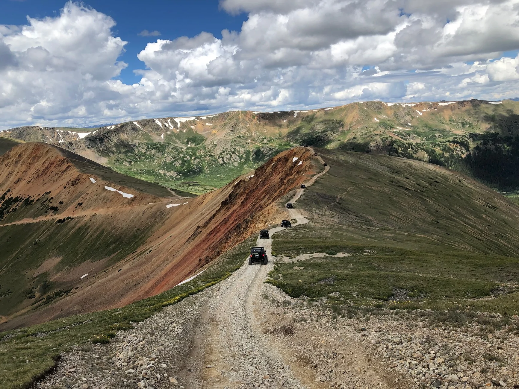
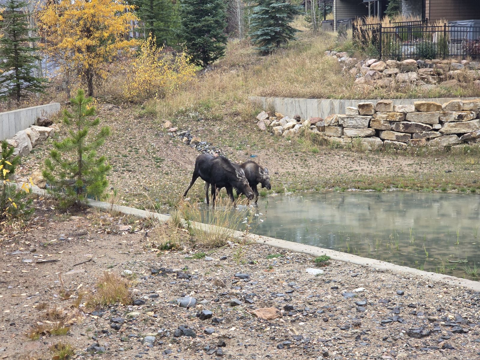
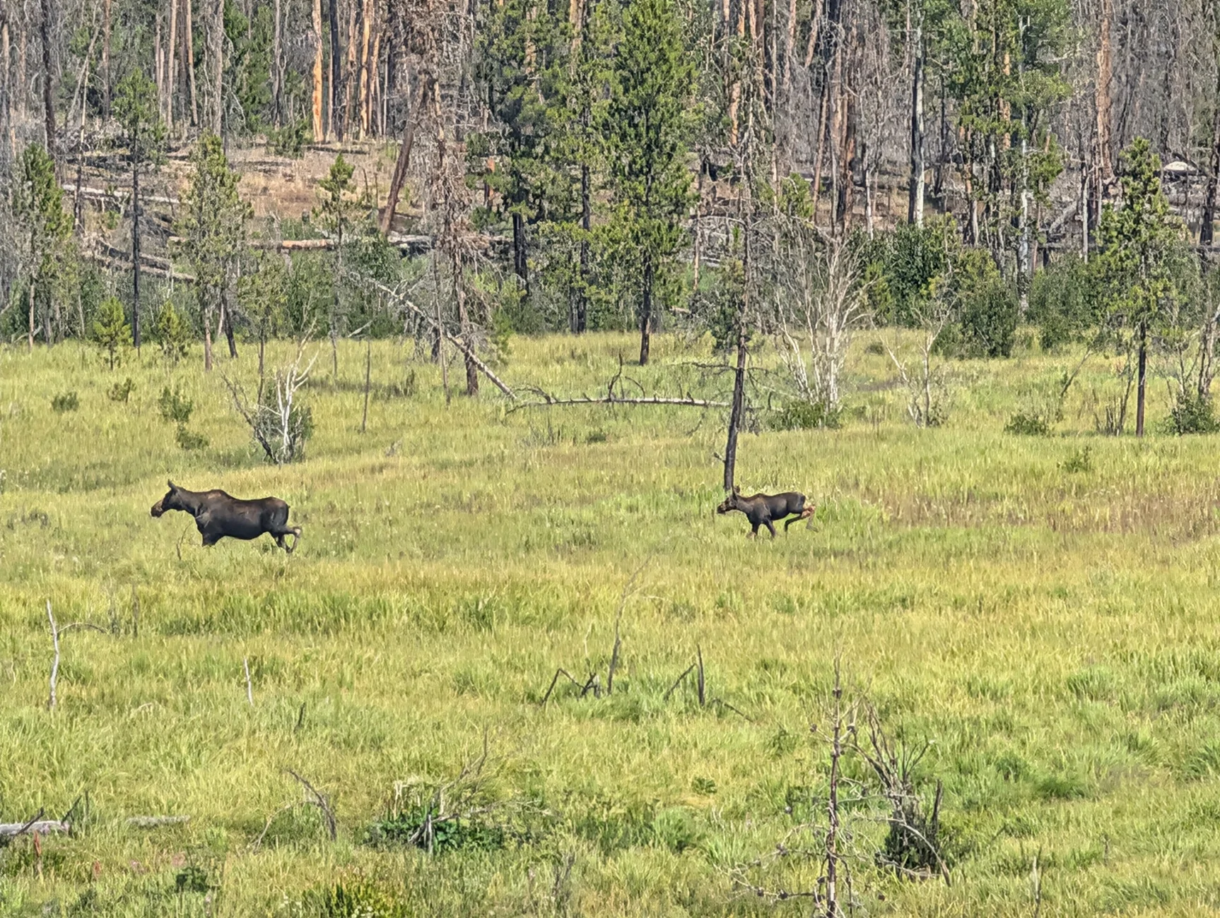
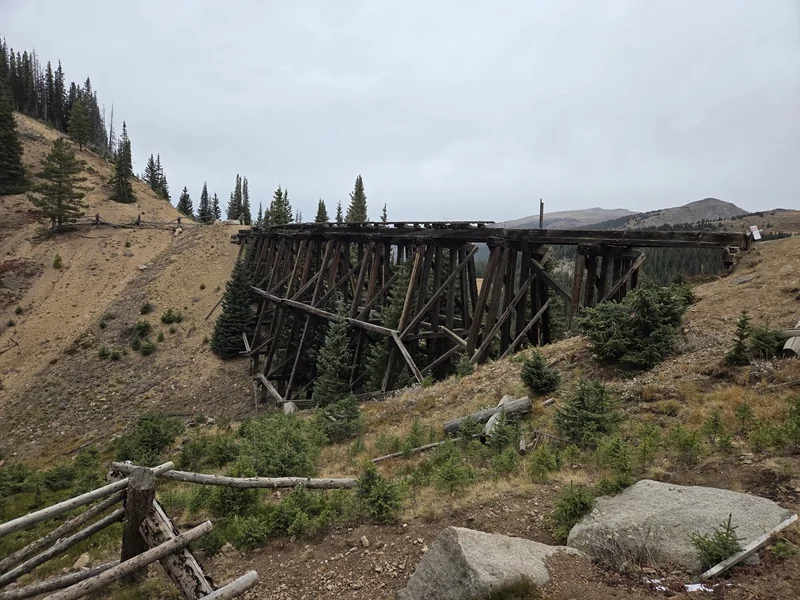
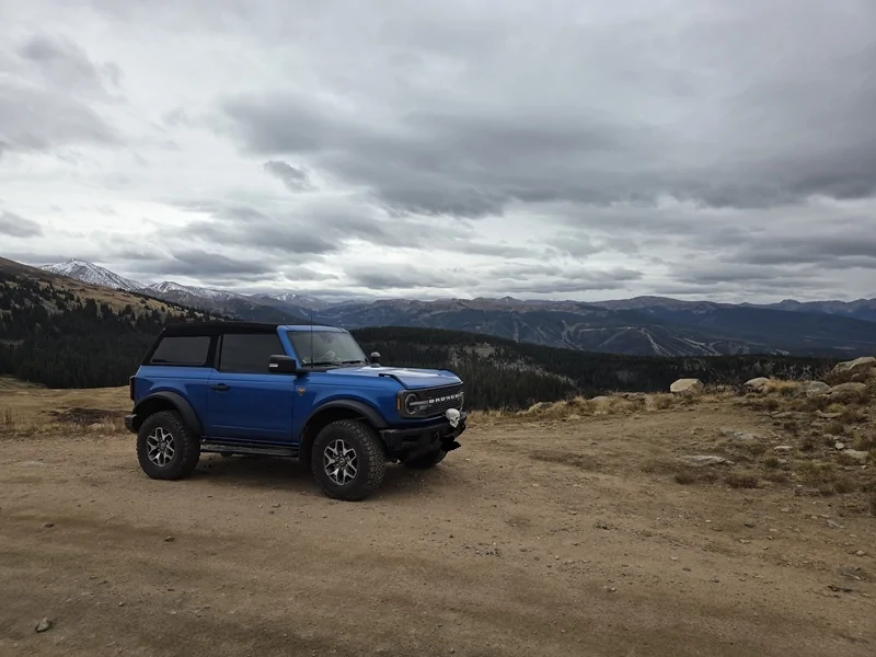
Took a long weekend to Winter Park, CO. Had a nice but cloudy fall day going up Rollins Pass West. Most of the trail was no big deal, but there was a lot of rocks and sharps exposed by a lot of erosion. Unfortunately lots of trail/alpine damage from assholes too. It's quite a shame. Part of the trail is from an old railroad that has since been removed, but an old bridge remains.
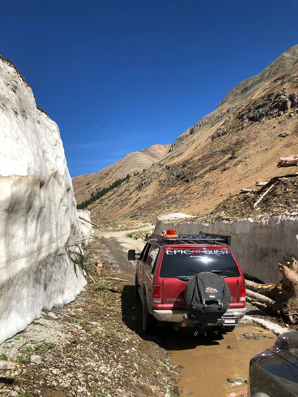
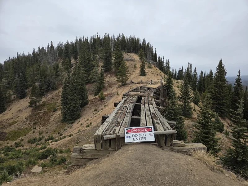
At the end of the trail is a tunnel that was closed a couple decades ago -- it used to connect Rollins Pass West and Rollins Pass East. There are also a couple of other routes between the two but they are also closed effectively permanently. The last mile or so of the trail is pretty sketch. It's cut through a glacial bowl and the road surface is just a jagged, ice ground granite rock field. I was going to turn back because I was worried about tire damage while wheeling alone and the road would be a total PITA to change a tire on, but I met up with some Jeep guys and decided with other people on the trail I would at least have some backup if things went bad tire wise.
Trail is only 14 or so miles long, but sharps and rock fields keep you going pretty slowly. I aired down to ~25 for the main part of the road, then ~18 for the last nasty bits. Got to make use of my new onboard compressor!
A couple of pics. My Bronco close to the top with a gorgeous view, and a couple of the old railroad bridge which is a lot more degraded than the Onx pics show (which is also the case for the trail itself). My rig has some temporary holiday decoration added, hah.
Sponsored